Research · LiDAR and landscape history
Stories written into the ground
I’m interested in LiDAR as a way to explore traces of the past in landscapes across the UK, and to tell the stories of the people who lived and worked there.
This project was inspired by @MoundLore, whose work brings American history and landscapes to life. I wanted to see what LiDAR data was available here in the UK and use it to explore the histories closer to home.
I’m bringing the stories together as an online exhibition, combining terrain views with archaeological research, historical records and links for further reading. The first examples use Environment Agency data from England. They are starting points for exploring recorded places, with credit to the people and organisations whose research made them possible.
Questions, corrections or ideas for collaboration? Email me at tc@tylerbuilds.com.
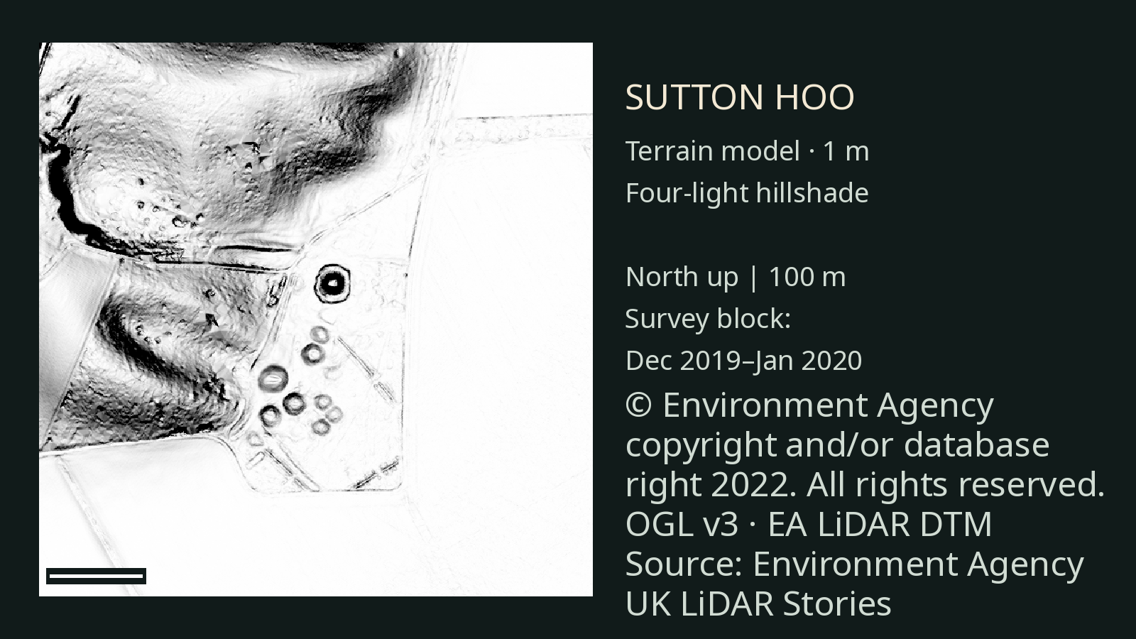
01 · Suffolk
Sutton Hoo: the people behind the ship burial
A burial chamber, a vanished ship and the objects that suggest a life of wealth and status in seventh-century East Anglia.
Read the story →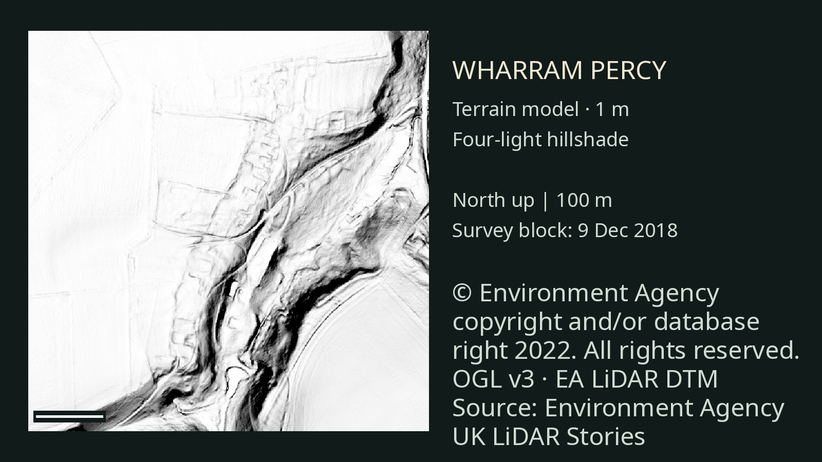
02 · North Yorkshire
Wharram Percy: the people of a deserted village
The earthworks in the Yorkshire Wolds mark a place where families farmed, worshipped and lived under the authority of local lords.
Read the story →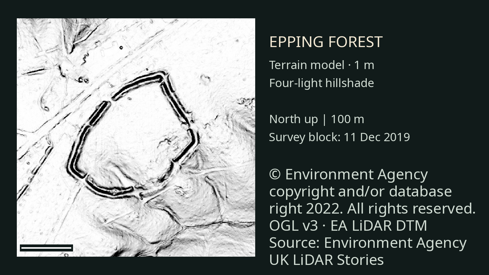
03 · Essex
Ambresbury Banks: an Iron Age enclosure in Epping Forest
Banks, a ditch and pieces of pottery leave clues about an old enclosure, and plenty of questions about the people who used it.
Read the story →About these views
These images use open Environment Agency terrain data. LiDAR shows surface form; it cannot see buried objects or date a site by itself. Each story links to the sources used and explains where interpretation begins.