North Yorkshire · Story 2 of 3
Wharram Percy: the people of a deserted village
The earthworks in the Yorkshire Wolds mark a place where families farmed, worshipped and lived under the authority of local lords.
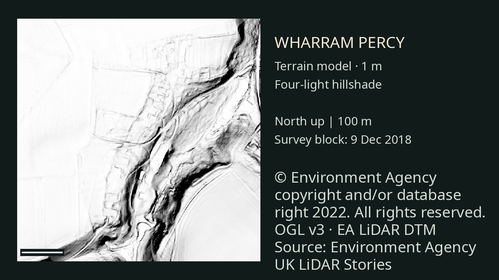
A village in the ground
Wharram Percy was a village in the Yorkshire Wolds. Its houses have disappeared, but the shapes of the settlement survive as earthworks. English Heritage describes the remains of around 40 peasant houses, interspersed with barns and other outbuildings, as well as manor sites and a church. [1]
The people who lived here were not all alike. Some were likely to have been villeins: peasants who were legally under a lord’s control. English Heritage suggests that smaller plots may have belonged to cottars, while some larger plots may have been held by free peasants. The different arrangements are interpretations of the remains and records, not names attached to every house. [1]
Work, land and community
House plots stood beside strips of land. People worked the surrounding fields, and the village had a church and watermills. A fourteenth-century longhouse excavated here had a timber frame and, unusually, glazed windows. [1]
The village changed over a long period. English Heritage records that in 1368, after an earlier decline, 30 houses were occupied and land previously left uncultivated was being used again. A few decades later, at least 16 houses were occupied when Baron Hilton died in 1436. [2]
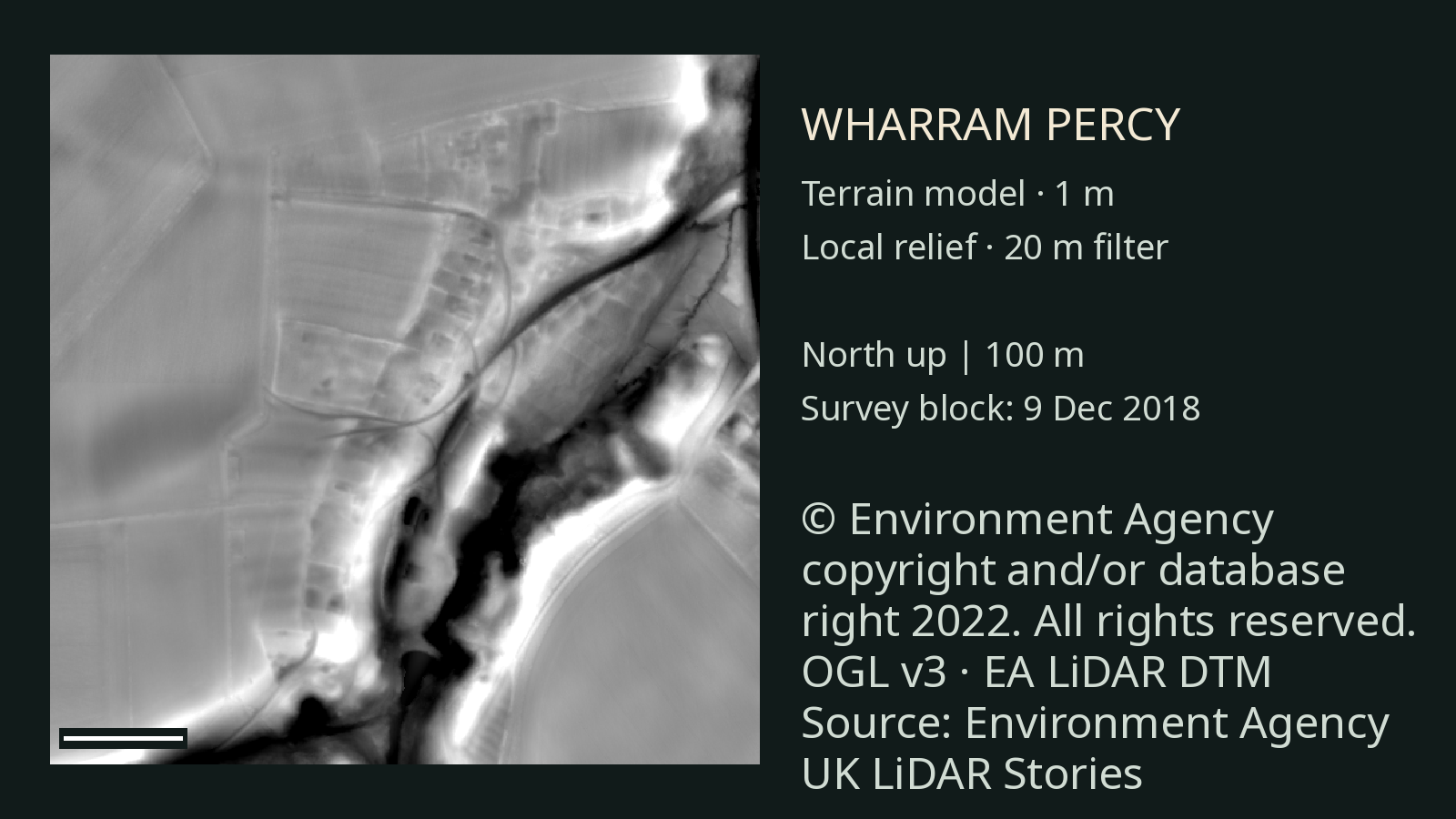
Why did people leave?
There was no single moment when everyone disappeared. As wool grew more valuable, landowners increasingly converted arable fields to pasture for sheep. A record describes four families being evicted and their houses destroyed around 1500, but a few smallholders and shepherds remained afterwards. English Heritage treats the eviction as part of a longer process of depopulation. [2]
The last arable strips were converted to pasture in 1527. In 1543 and 1544, a farmer kept 1,240 sheep on Wharram’s former arable fields, looked after by two shepherds. [2]
What the images add
These views use the same Environment Agency terrain model, displayed in two different ways. They show variations in the ground around the recorded village; we have not independently matched individual shapes in these images to particular houses. The history comes from the excavations, surviving earthworks and documents, not from LiDAR alone. [1] [2] [3]
Archaeologists excavated at Wharram every summer from the 1950s until 1990. That long programme of research is one reason the village can be understood in such detail. [2]
Sources and further reading
- English Heritage: description of Wharram Percy Houses, land plots, church and mills.
- English Heritage: history of Wharram Percy Population, farming, eviction and excavation.
- Environment Agency: National LiDAR Programme Source terrain data and licensing.
Terrain images use the Environment Agency’s National LiDAR Programme. The survey date describes the survey block, not a separately confirmed flight time over the site.